

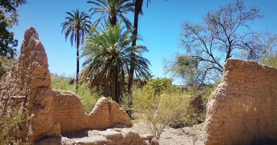
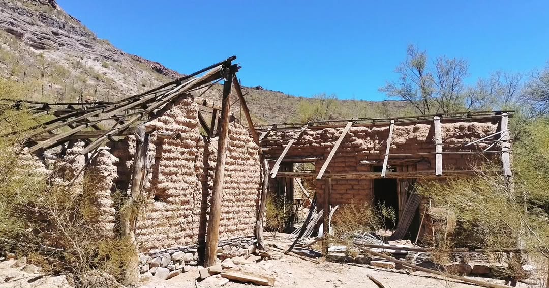
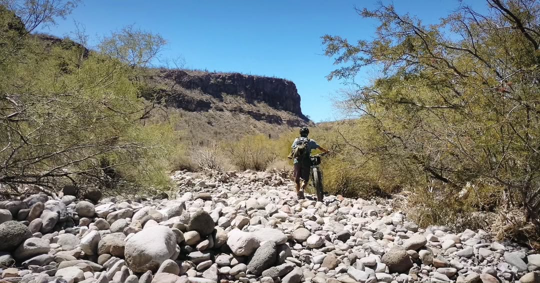
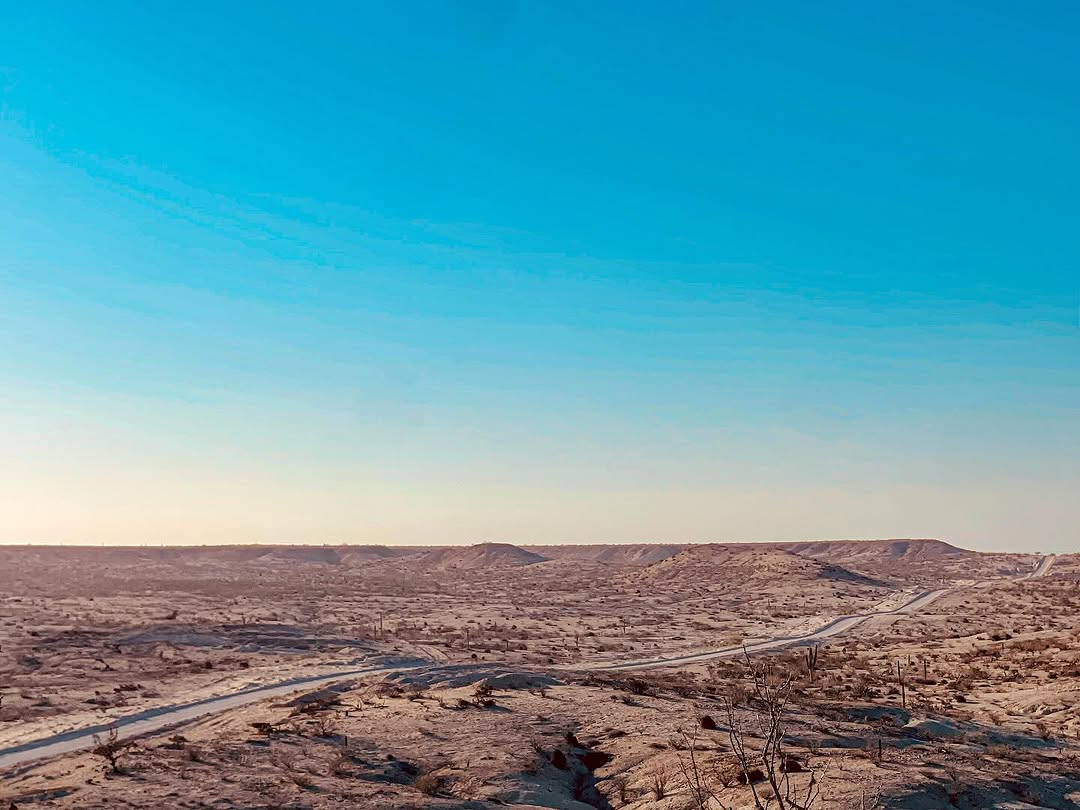
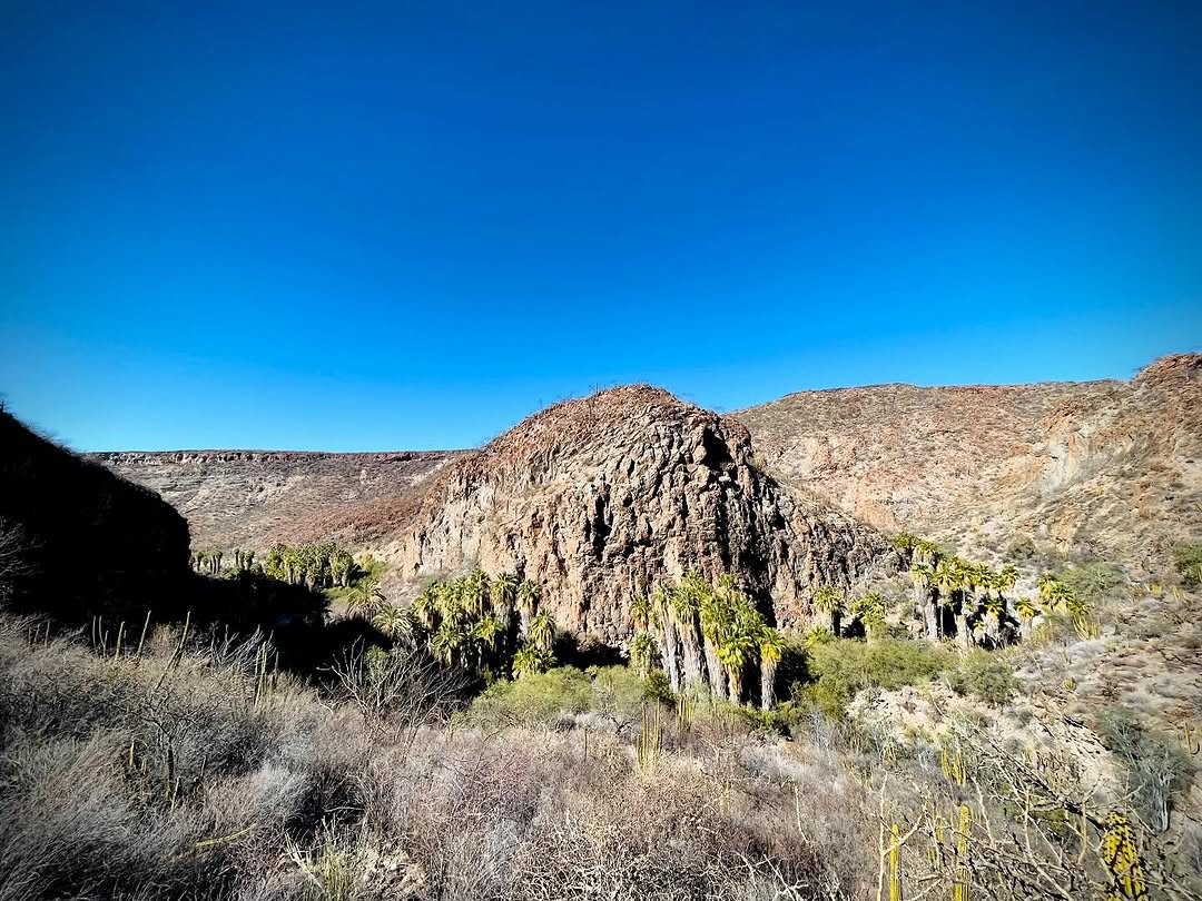
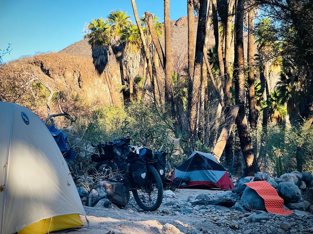
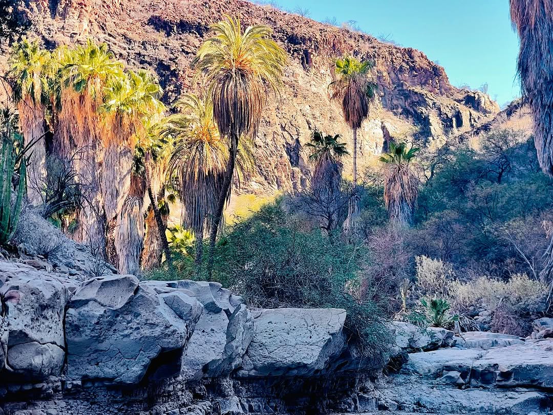
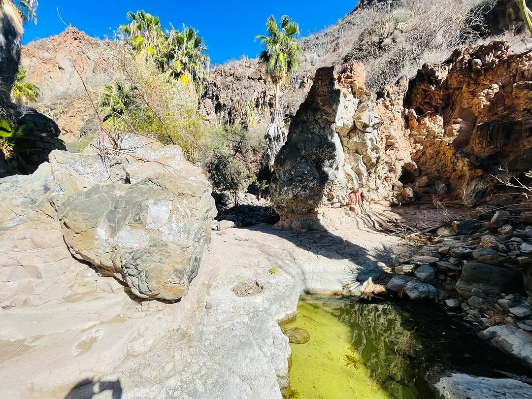
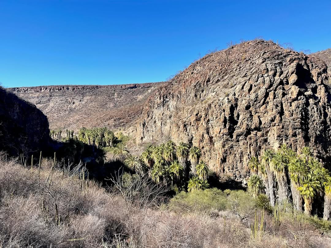
A rough route that will take you to one of the oldest human settlements of the region, dating almost 300years , this ancient ranch with ever running water has history that can be felt in the air. Almost no climbing. Last 6 miles very rough. Only water the one from the creek.
REMEMBER. If you want to make sure your rig is ready for this route, check-out our BAJA-PROOF series of tips and tested products !
– We don’t include WAYPOINTS in our gpx files due to their unreliablility especially regarding water, ranches and road conditions markers –
* you will download a compressed .zip file. Once downloaded open it to decompress it. It will now show the GPX file as a text. Click the share button and share it in the GPS navigation app that you normally use.
Terms of use: The routes listed are intended solely as travel planning resources and route suggestions. Bikepackingbaja.com, its partners, associates, and contributors are in no way liable for personal injury, damage to personal property, or any other such situation that might happen to individual riders cycling or following any of these routes.
Photo Gallery ( by @busyerode )


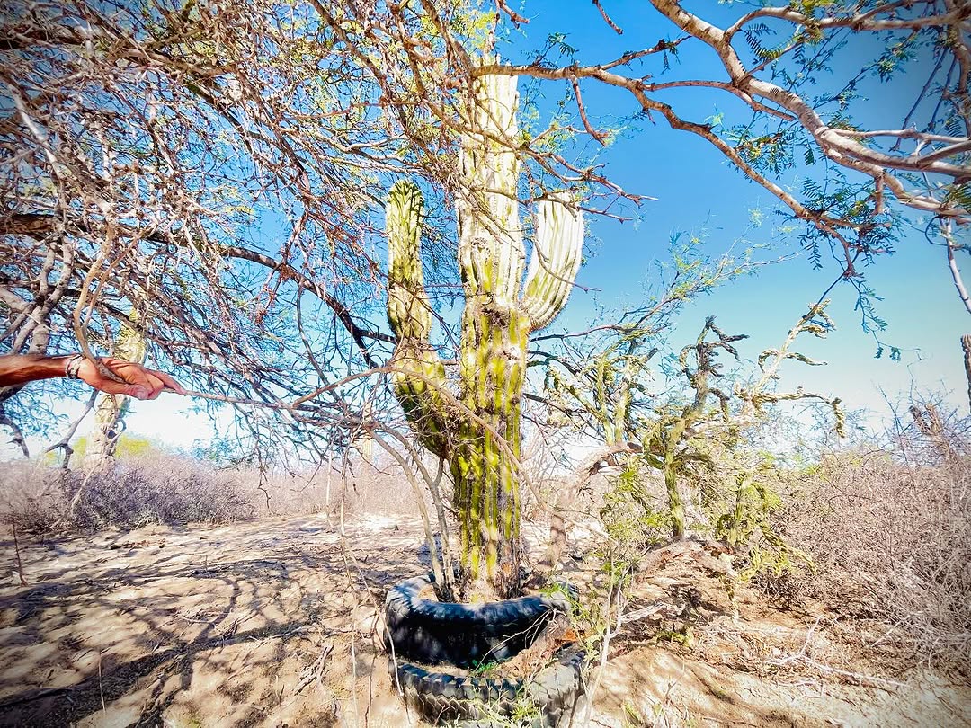
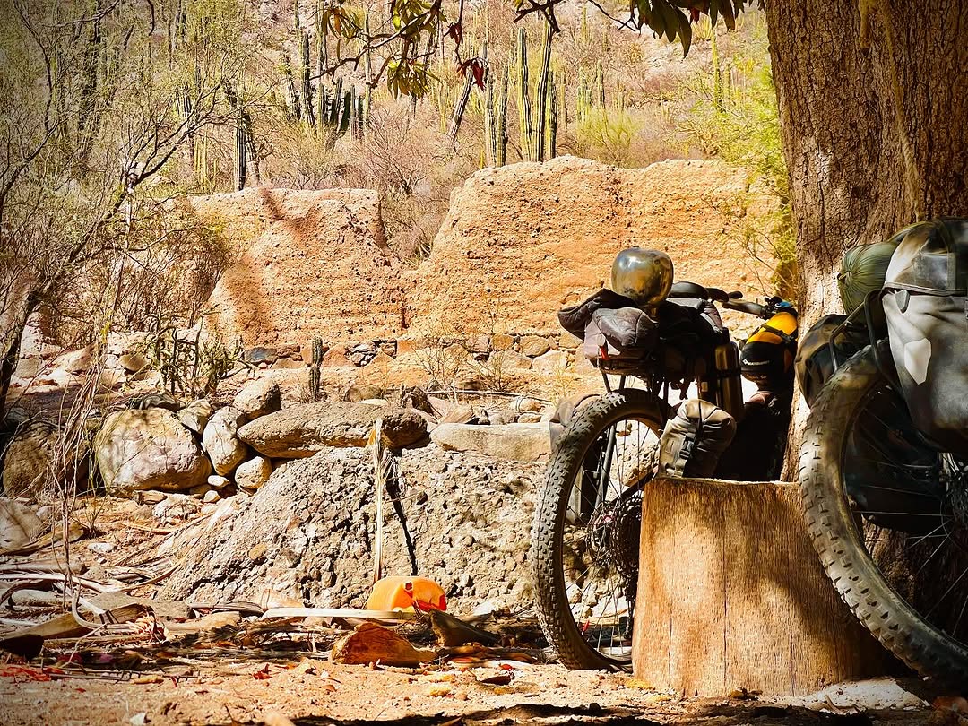
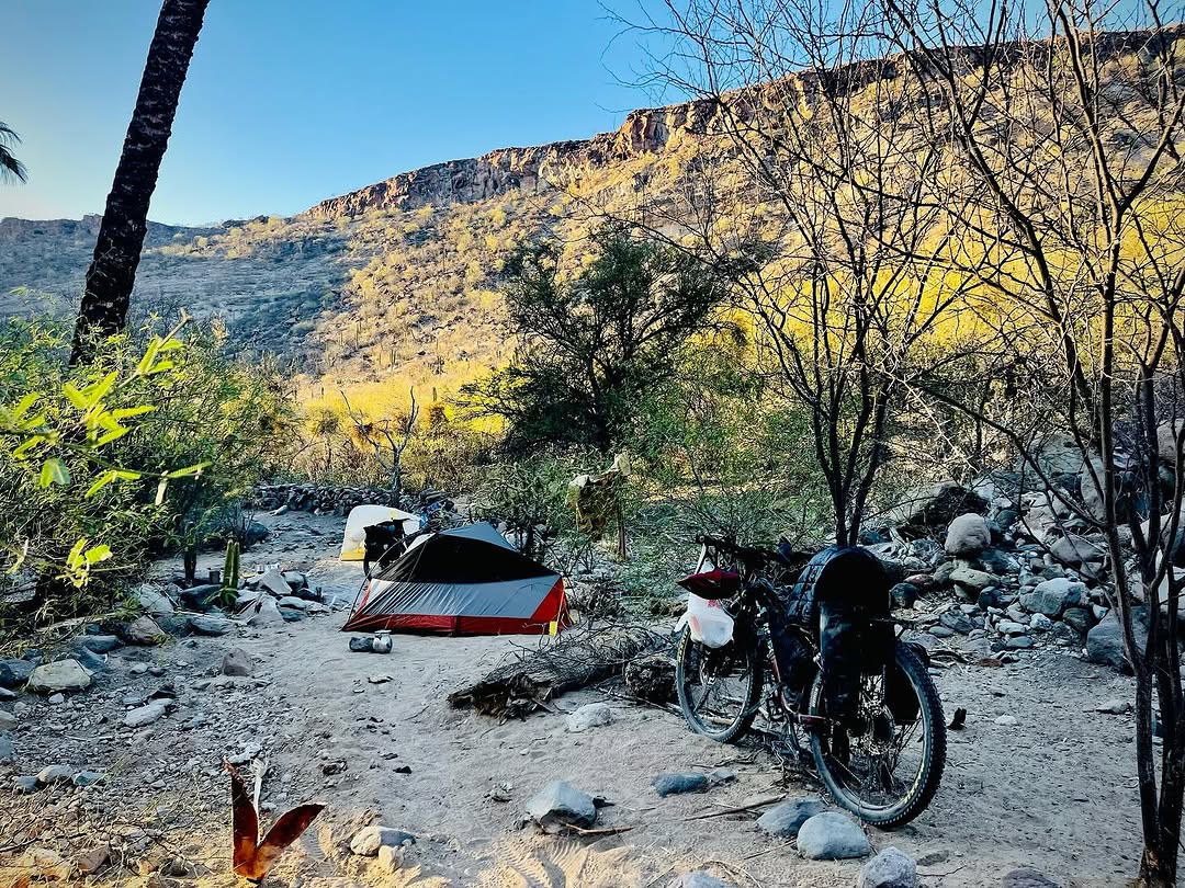
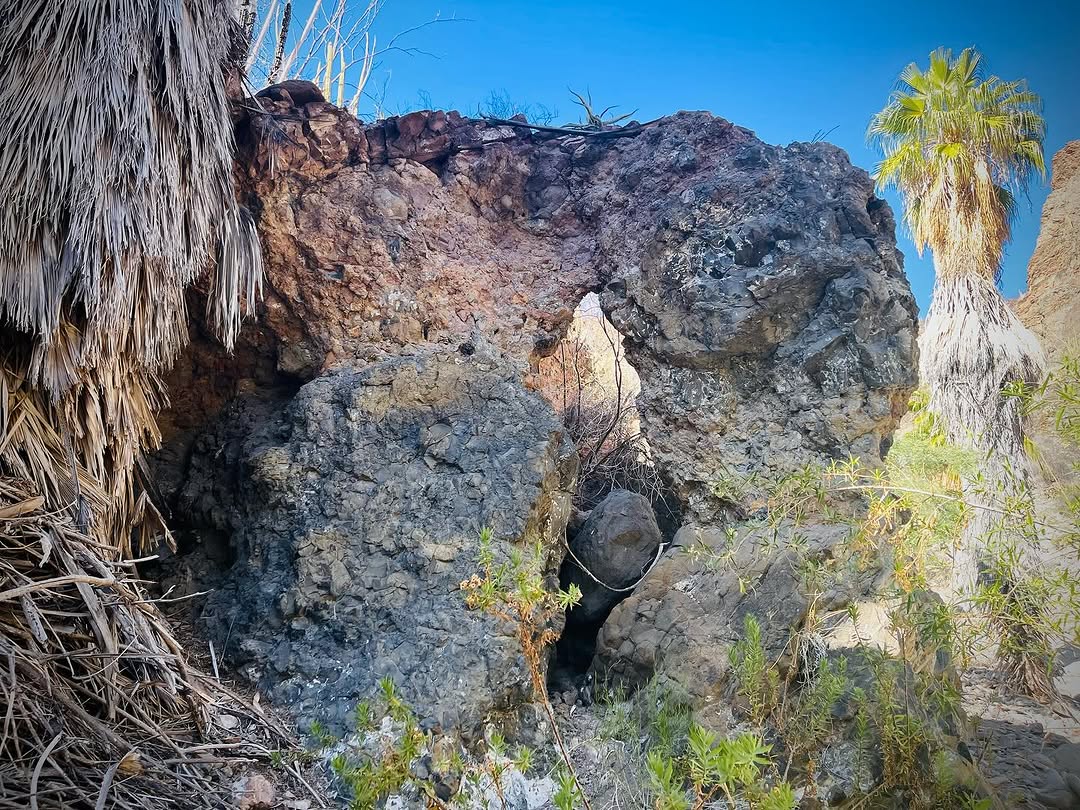
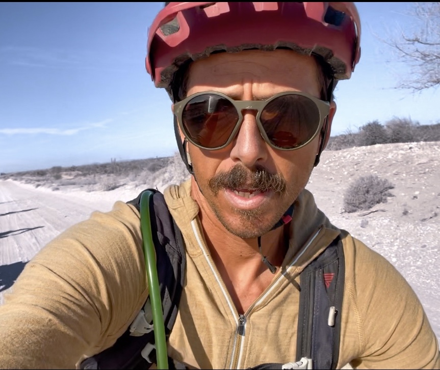
Mattia Dalvit ( @busyerode )

Leave a comment