

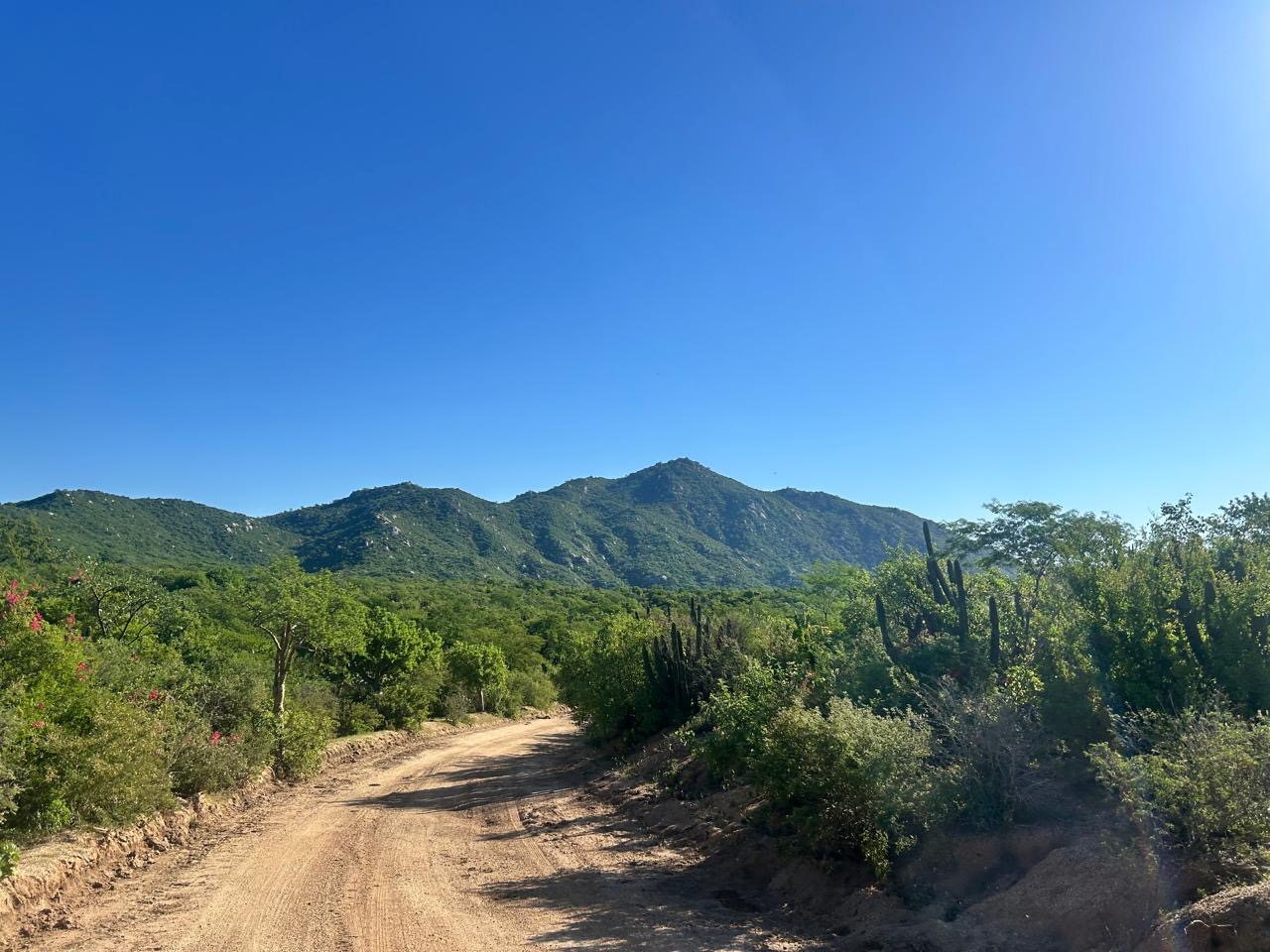
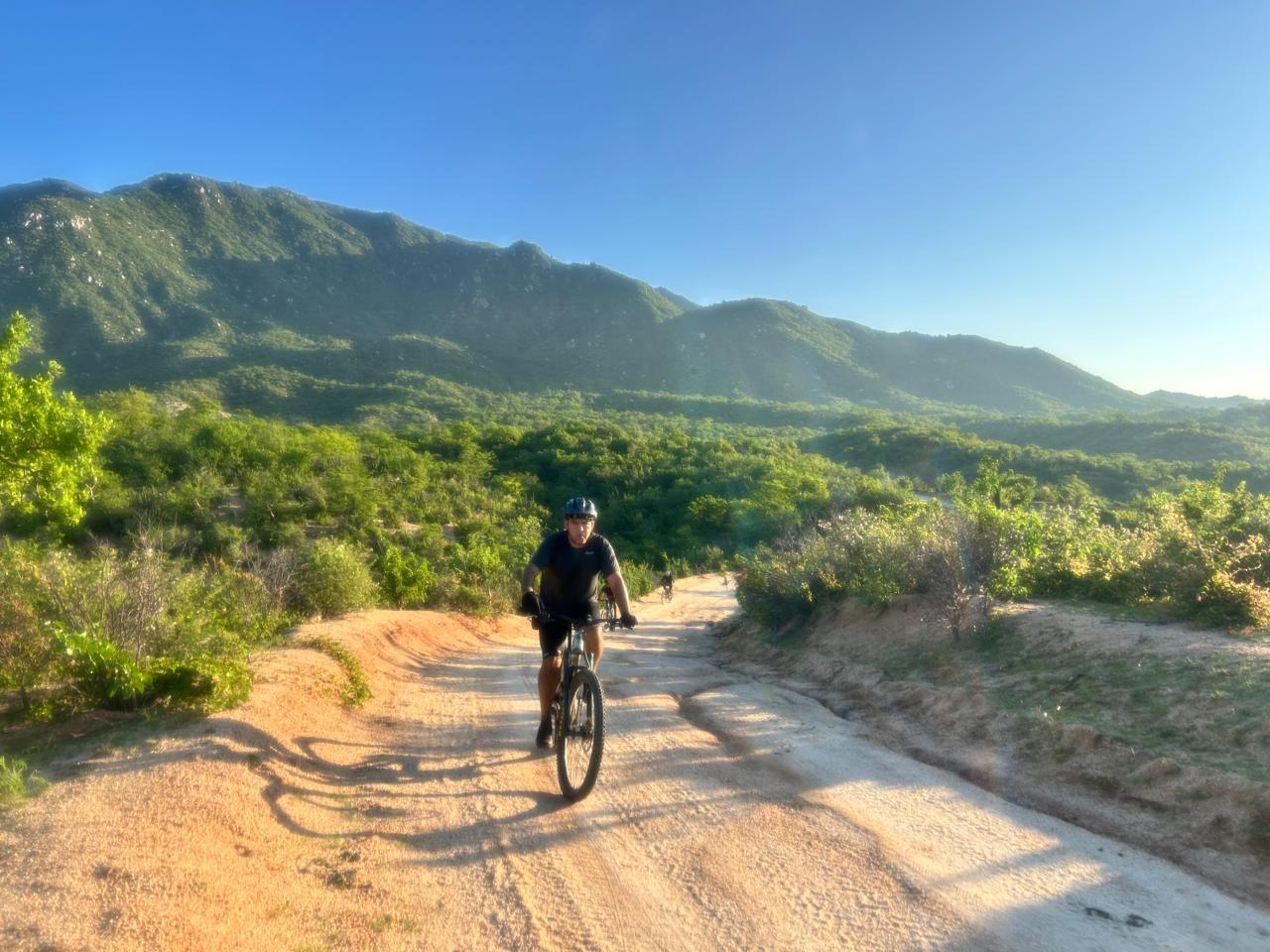
This 30-mile (48 km) route offers a unique and much quieter perspective of Los Cabos, connecting the two most popular tourist destinations in Baja by bike and through nature. While you’ll start and end in more developed areas, the serene and scenic landscape in between out of phone signal will quickly make you forget the traffic and bustle of the city.
– We don’t include WAYPOINTS in our gpx files due to their unreliablility especially regarding water, ranches and road conditions markers –
Terms of use: The routes listed are intended solely as travel planning resources and route suggestions. Bikepackingbaja.com, its partners, associates, and contributors are in no way liable for personal injury, damage to personal property, or any other such situation that might happen to individual riders cycling or following any of these routes.
* you will download a compressed .zip file. Once downloaded open it to decompress it. It will now show the GPX file as a text. Click the share button and share it in the GPS navigation app that you normally use.
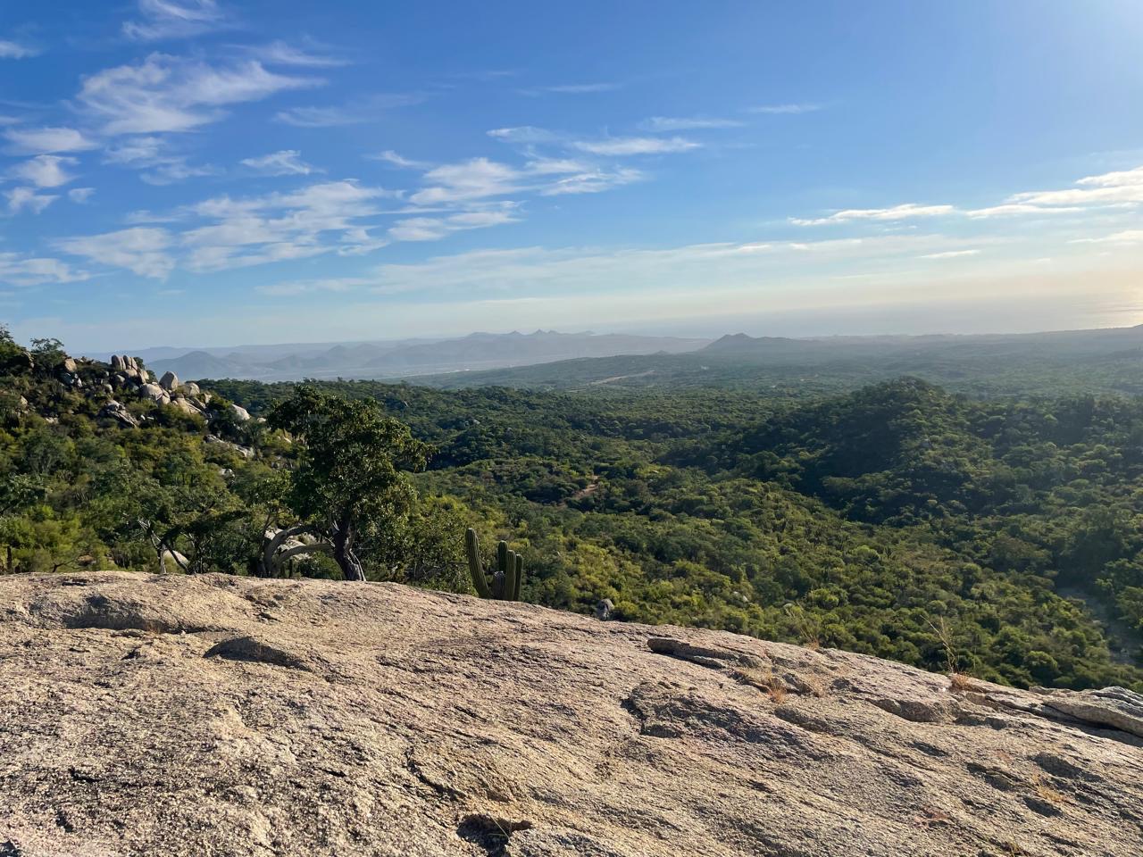
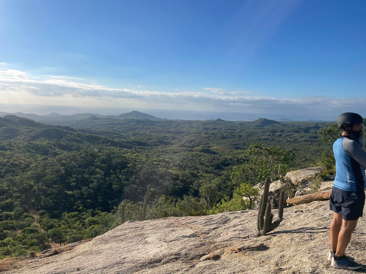
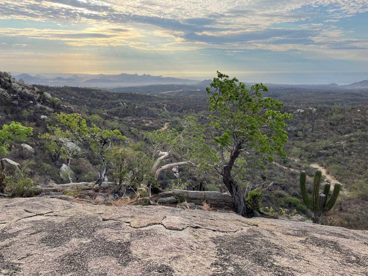
Be sure to bring plenty of food and water, as there are no resupply points along the way. The views are nothing short of spectacular—especially from the famous “La Piedrona” (“The Big Rock”) lookout at mile 23.
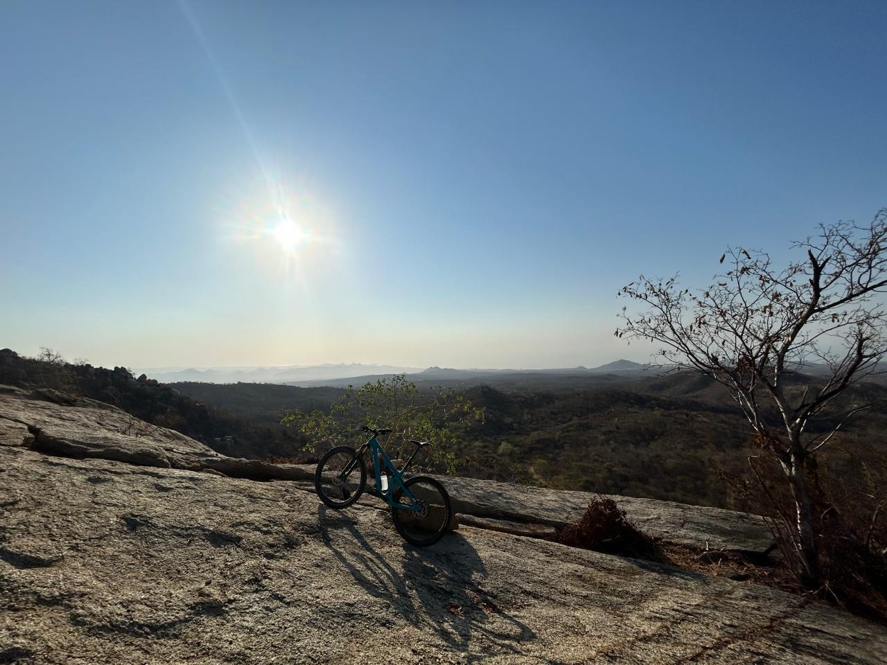
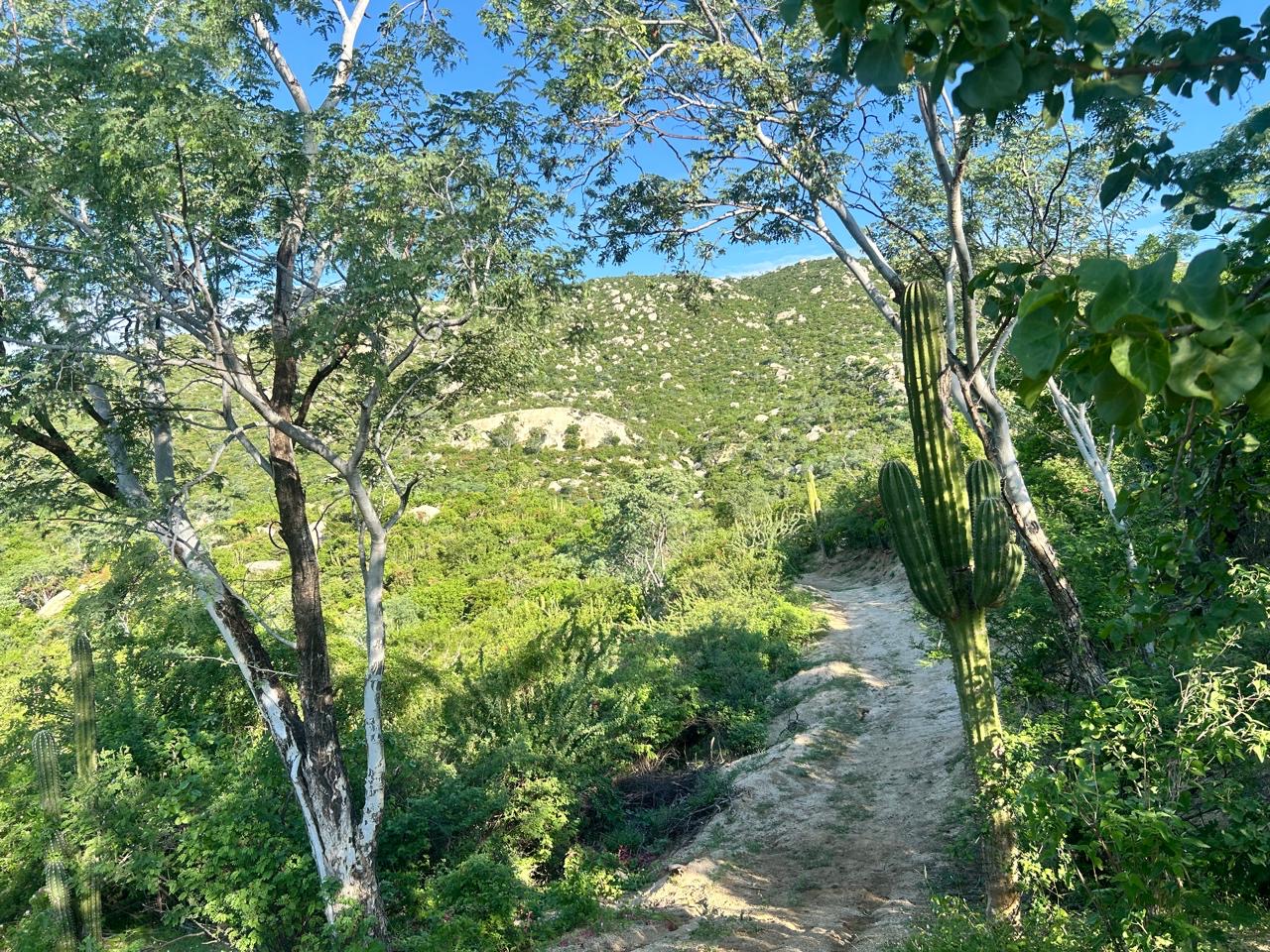
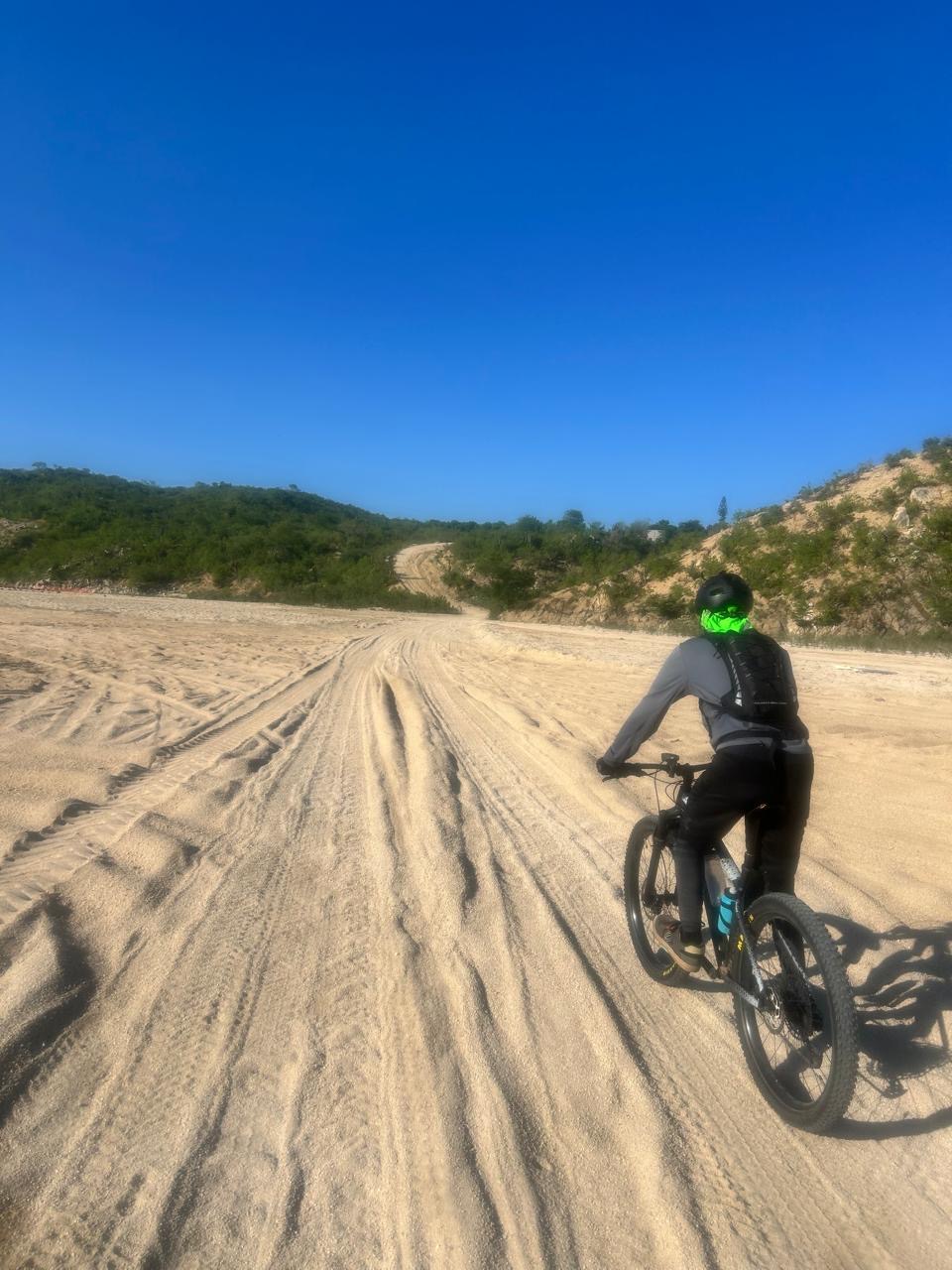
The route includes several challenging climbs and short stretches of deep sand. Most of the terrain consists of hard-packed dirt on wide ranch roads, with the final kilometer being a singletrack section that leads into the San José Bike Park, the route’s endpoint.
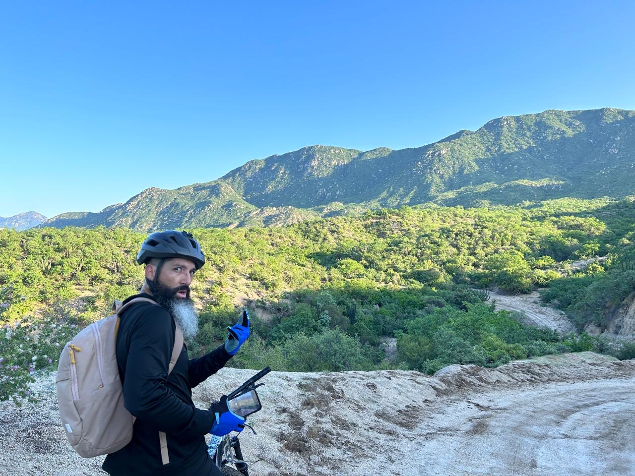
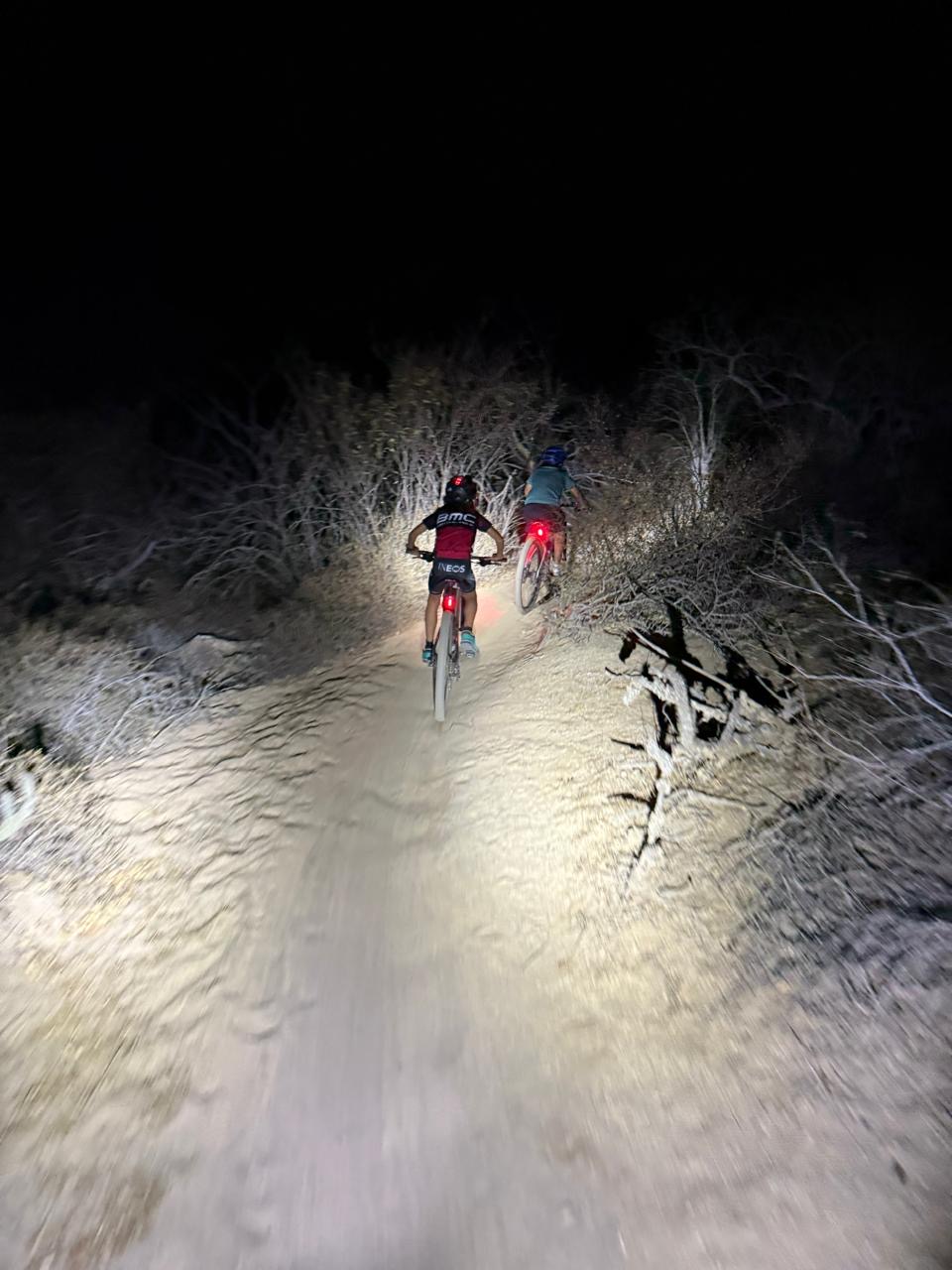
Heading from Cabo to San José is slightly more difficult than doing it in reverse. With plenty of camping spots in the Sierra, this route makes for a fantastic overnight adventure if you’re exploring the tip of Baja!
REMEMBER. If you want to make sure your rig is ready for this route, check-out our BAJA-PROOF series of tips and tested products !
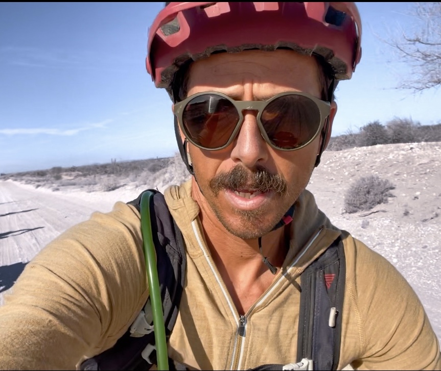
Mattia Dalvit ( @busyerode )

Leave a comment